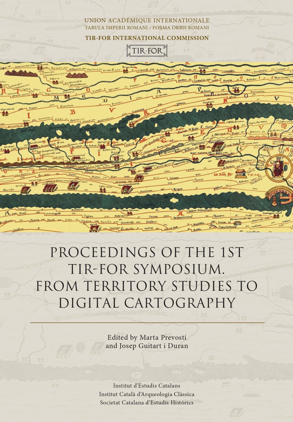
Proceedings of the 1rst TIR-FOR Symposium.
From territory studies to digital cartography
The TIR-FOR International Commission decided to hold this first TIR-FOR Symposium with the firm belief that it could be a useful platform to raise awareness of the latest advances made by a project whose roots date back over a century, at the same time as providing the opportunity for researchers working in related areas to share their experiences, methodologies and findings.
The International Commission has been commissioned by the International Union of Academies to manage the unification, digitisation and updating of these two, initially parallel, projects on the cartographic topography of the Roman world: the Tabula Imperii Romani and the Forma Orbis Romani. Two projects which, in the 20th century, published numerous volumes on paper that cover a considerable proportion of the Roman Empire.
In fact, the decision to organise a Symposium, which the International Commission hopes will be held regularly, results from this desire to raise awareness of the digital TIR-FOR project’s scientific potential. The subject chosen for this first Symposium, From Territory Studies to Digital Cartography, is clearly along these lines, with the aim of encouraging reflection and debate regarding the inextricable interaction between research into archaeological sites, territory and archaeological topography, and digital cartography.
Index (TIR FOR Proceedings 2021)
