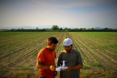
New research published in the Journal of Archaeological Science aims to improve archaeological field surveying by combining machine learning and high-resolution drone imagery.
Drones become more prominent among surveying tools in Archaeology. They are used so far for getting good aerial views of sites and archaeological features, and even for discovering new archaeological settlements. New developments in the field of machine learning allow capturing full-resolution images with methods of pottery fragments (potsherds) collection.
The intensive pedestrian survey is one of the most widespread techniques used for the location of archaeological sites. Teams of archaeologists walk across a large area, recording and collecting items of material culture as potsherds. Introducing drones in the process can alleviate labour-intensive archaeological field surveying and reduce its costs.
Co-author Hèctor A. Orengo, a researcher at the Catalan Institute of Classical Archaeology (ICAC): “The distribution of potsherds is a good indication of the intensity of human occupation and the location of archaeological sites, but traditional survey methods can be quite costly and labour-intensive.” (read the full interview “Archaeological eye in the sky”, University of Cambridge).
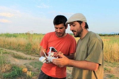
The new archaeological surveying method proposed by Orengo and Garcia-Molsosa consists of flying a pre-programmed drone over the area of interest taking overlapping pictures which are joined together to create a single very large high-resolution image.
A machine learning (a subfield of Artificial Intelligence) algorithm powered by Google cloud computing infrastructure then identifies and maps all-ceramic fragments visible in the image. The algorithm uses colour and pixel texture to identify potsherds but can be trained to identify different types of material culture as well.
According to Garcia-Molsosa, “The automated recording of surface material culture has enormous possibilities to contribute to a wide array of projects working on academic research and heritage management. We hope that this technique can be employed, adapted and improved by other teams so we can understand better its potential application”.
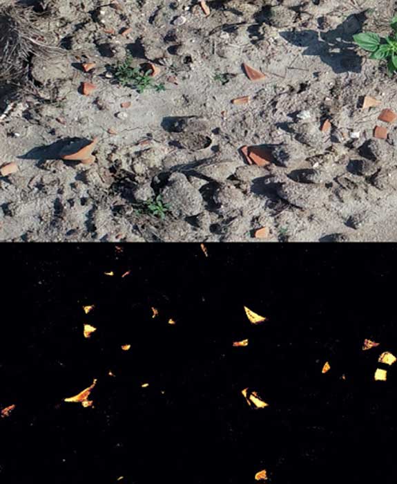
But, the method is not without its limitations. Perhaps the most relevant current limitation is the same occurred in the traditional archaeological surveying: access to explore uneven grounds. Much like traditional fieldwalking, the new method provides better results for flat slough soils devoid of vegetation.
In an interview in Ancient Origins, Orengo and Garcia-Molsosa stated they are also working on creating “new artificial intelligence-based methods to improve the algorithm detection ratio and extend its identification abilities to other types of material culture, such as lithic and metal.” (“From Turning Stones to Launching Drones: Archaeological Surveys Take Flight”, Ancient Origins, by Alicia McDermott).
 A brave new world for archaeological survey: Automated machine learning-based potsherd detection using high-resolution drone imagery


