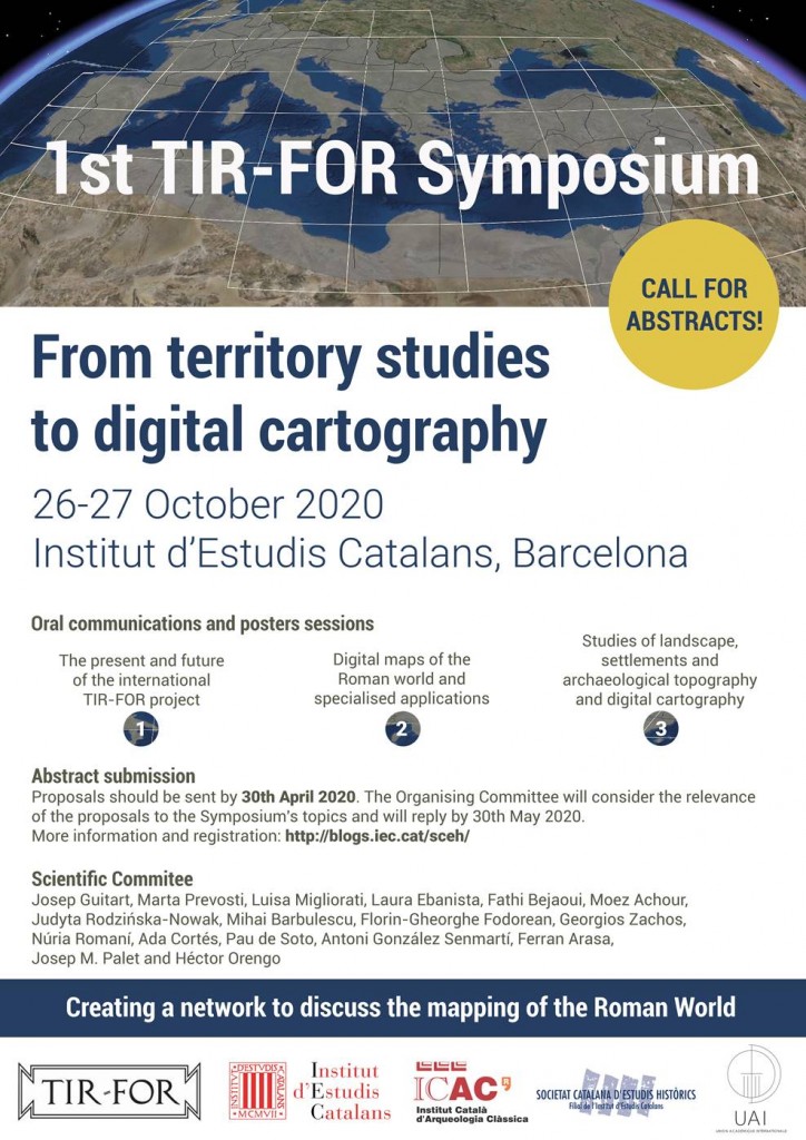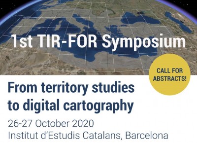
From territory studies to digital cartography
26-27 October 2020
Sala Pere i Joan Coromines Institut d’Estudis Catalans, Barcelona (Spain)
The great possibilities offered by digital cartography have made it an essential tool for investigating and disseminating knowledge of the Roman world. Joining efforts exponentially increases the potential of results from research and it is increasingly evident that important achievements require international networks of researchers with common goals and agreements regarding the methodology to be applied to their work.
Given this situation, it is of vital importance for the studies of settlement, communication networks and economic elements, toponymy and archaeological topography, as well as studies of the territory and landscape, that form the basis of many of these cartographic processes, should use commonly agreed methodologies to allow, collectively, interaction and the construction of maps of the Roman world, exploring the huge potential offered by Linked Open Data. A network needs to be set up between the different research groups so they can reach agreements regarding the mapping of the elements under study and, at this point, evaluate the research being carried out and provide a forum for discussion.
For these reasons, the International TIR-FOR Commission is organising the FIRST TIR-FOR SYMPOSIUM, an event to encourage reflection and discussion regarding the inextricable interaction between research into settlement, territory and archaeological topography and digital cartography.
The symposium will be divided into three sessions, each focusing on a specific topic. Each session will begin with a talk which will provide the backbone for the session. The communications associated with the topic will then be presented, lasting 20-30 minutes, followed by a final discussion. The plan is also to present posters with the corresponding opportunity for discussion.
1st session: The Present and Future of the International TIR-FOR Project
- Talk: Catalan TIR-FOR team (IEC, ICAC): «TIR-FOR, a hundred-year-old project at the heart of cartographic digitisation».
- Communications by the different teams from the International TIR-FOR Commission.
- Other communications and posters.
2nd session: Digital Maps of the Roman World and Specialised Applications
- Talk: Johan Åhlfeldt (University of Gothemburg): «Digital maps and historical gazetteers: function and importance for digital historical research».
- Communications and posters.
3rd session: Studies of Landscape, Settlements and Archaeological Topography and Digital Cartography
- Talk: Hèctor Orengo and Josep M. Palet (ICAC, Catalan Institute of Classical Archaeology – GIAP research team): «Integrated landscape analysis: moving beyond site distribution».
- Comunicaciones y pósteres.
Proposals can be submitted until April 30th 2020 on the registration page
The languages of the Symposium are Catalan, Spanish, English, French and Italian.
More information
Scientic Committee:
Josep Guitart, Marta Prevosti, Luisa Migliorati, Laura Ebanista, Fathi Bejaoui, Moez Achour, Judyta Rodzinska-Nowak, Mihai Barbulescu, Florin-Gheorghe Fodorean, Georgios Zachos, Núria Romaní, Ada Cortés, Pau de Soto, Antoni González Senmertí, Ferran Arasa, Josep Maria Palet i Hèctor Orengo.

TIR-FOR is a project promoted by the International Union of Academies (UAI) that results from a methodological and conceptual unification of two projects, entitled Tabula Imperii Romani (TIR) and Forma Orbis Romani (FOR). Two leading projects in the last century related to the ancient cartographic topography of the Roman world, designed as an extensive scientific collaboration between countries.
The aim of this project is to produce a detailed digitised map of the Roman Empire as part of the Tabula Imperii Romani (TIR) and Forma Orbis Romani (FOR) project, driven with a new unified methodology, a centralised database shared by all countries, accessible on the internet and connected with a GIS.
More information on the project methodology
