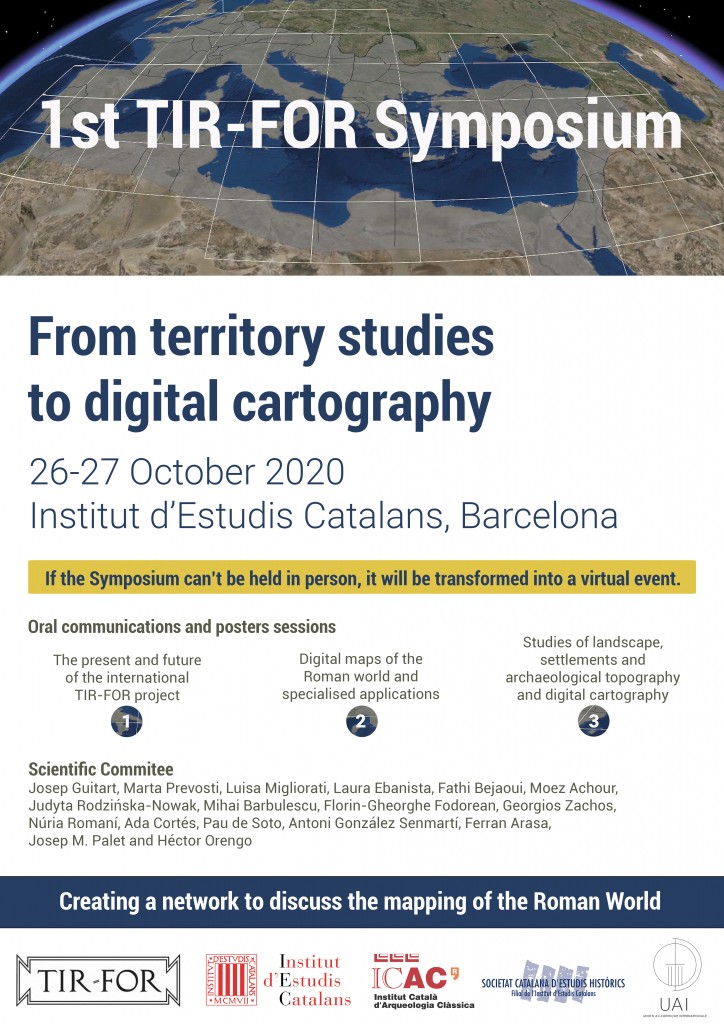
1st TIR-FOR Symposium. From territory studies to digital cartography
The great possibilities offered by digital cartography have made it an essential tool for investigating and disseminating knowledge of the Roman world.
Joining efforts exponentially increases the potential of results from research and it is increasingly evident that important achievements require international networks of researchers with common goals and agreements regarding the methodology to be applied to their work.
Check out the final program of the 1st TIR-FOR Symposium
Given this situation, settlement and communication networks studies, toponymy and archaeological topography, as well as territory and landscape studies, requires commonly agreed on methodologies to allow interaction and collaborative construction of the Roman world maps, exploring the huge potential offered by Linked Open Data.
A network needs to be set up between the different research groups so they can reach agreements regarding the mapping of the elements under study and, at this point, evaluate the research being carried out and provide a forum for discussion.
For these reasons, the International TIR-FOR Commission is organising the 1st TIR-FOR Symposium, an event to encourage reflection and discussion regarding the inextricable interaction between research into settlement, territory and archaeological topography and digital cartography.
Received communication proposals were very interesting, highly qualified and of international scope. The Scientific Committee has highly-valued the results of the inscription process and has set up a two-day program with 27 talks and a poster session, organized into three thematic sessions.
Check out the final program of the 1st TIR-FOR Symposium
