After a very successful first series in 2021, the GIAP Seminars come back for a 2nd year!
Organised by GIAP predoctoral and postdoctorals researchers, #GIAPseminars are a reflection of their current research interests. The series aims to provide glimpses of original and current research across the world, opening up new horizons in Landscape, Computational and Palaeoenvironmental Archaeology, and Bioarchaeology.
Regardless of career-stage or academic position, GIAP invites prominent researchers that reflect the interdisciplinarity and diversity of the field. Overall, the GIAP Seminars are an excellent opportunity to foster talent, broaden interests, and network.
There will be 1-hour monthly seminars, with 45′ of talk & 15′ of discussion, from February to June 2022. Addressed to researchers and students with interest in the listed topics. More info.
GIAP webinars are online, open events. No registration is required. We’ll share access links through our websites and social media.
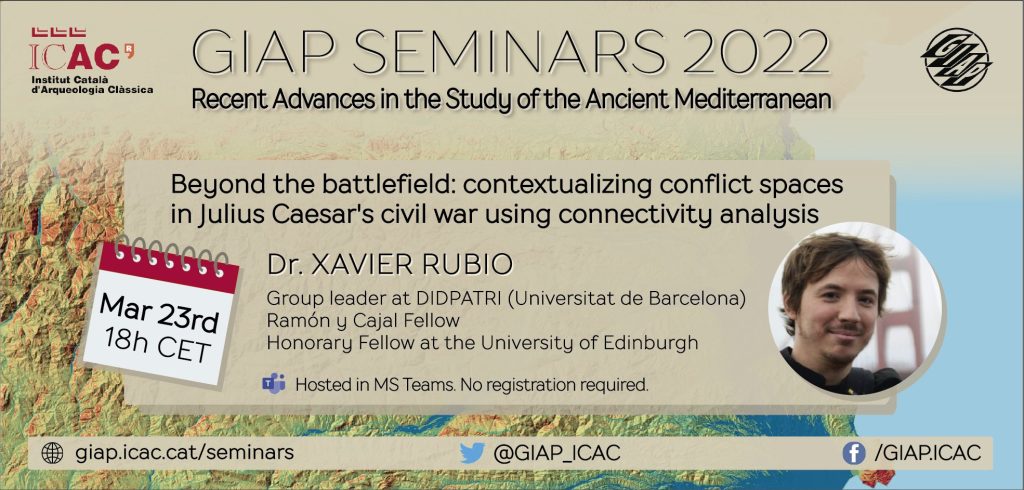
Session 2 will be next March 23, at 18 h CET, with Prof. Xavier Rubio-Campillo (Group leader at DIDPATRI, University of Barcelona / Ramón y Cajal Fellow / Honorary Fellow at the University of Edinburgh).
‘Beyond the battlefield: contextualizing conflict spaces in Julius Caesar’s civil war using connectivity analysis’
Access the webinar here: https://bit.ly/JoinGIAPseminar
No registration is required. Hosted in Microsoft Teams (no Microsoft/Teams account needed)

Keywords: Digital Humanities; Computational Archaeology; Game-Based Learning; Conflict Archaeology; Cultural Evolution; Socioecological dynamics; Spatial Analysis
Abstract:
The relation between territory and conflict is essential to understanding warfare. Landscape shapes both tactics and formations, and it may heavily affect the outcome of any military engagement by providing highly defensible positions, areas where troops can be concealed, or prominent locations where to control the battlefield. However, the impact of the territory is way broader than the specifics of the event itself: how were logistic routes shaped by the control of the territory? Why were specific regions chosen to face the enemy in battle? How did commanders and soldiers perceive this landscape before and after the battle? This presentation will explore the relation between landscape and conflict within the archaeological site of Puig Ciutat (Catalonia, Spain). A garrison deployed at this location was attacked during Julius Caesar’s campaign in Ilerda (49 BC) but the successful assault is not mentioned in any written source. We use here a computational approach combining Circuit Theory and statistical analysis to understand how multiscalar connectivity may help us understand the role of this site and its landscape within the scope of Caesar’s campaign.
About Dr. Rubio:
His original background is a bachelor’s degree in Computer Science in Universitat Pompeu Fabra (2003), where he graduated with the first rank of his promotion. He did his Ph.D. in Heritage Studies at the University of Barcelona (2009).
Before joining DIDPATRI (UB), he held a lecturership in Computational Archaeology at the University of Edinburgh (2016-2020) and Team Leader of the Humanities research group at the Barcelona Supercomputing Centre (2009-2016). In these positions, he participated in several interdisciplinary projects applying computational methods to improve our understanding of the past, such as Consolider SimulPast and ERC Advanced Grant EPNet.
This transdisciplinary experience helped him to establish links between Humanities and Computer Science, with the aim of exploring how computational research methods can foster a critical perspective about the past and its impact on current society.


